
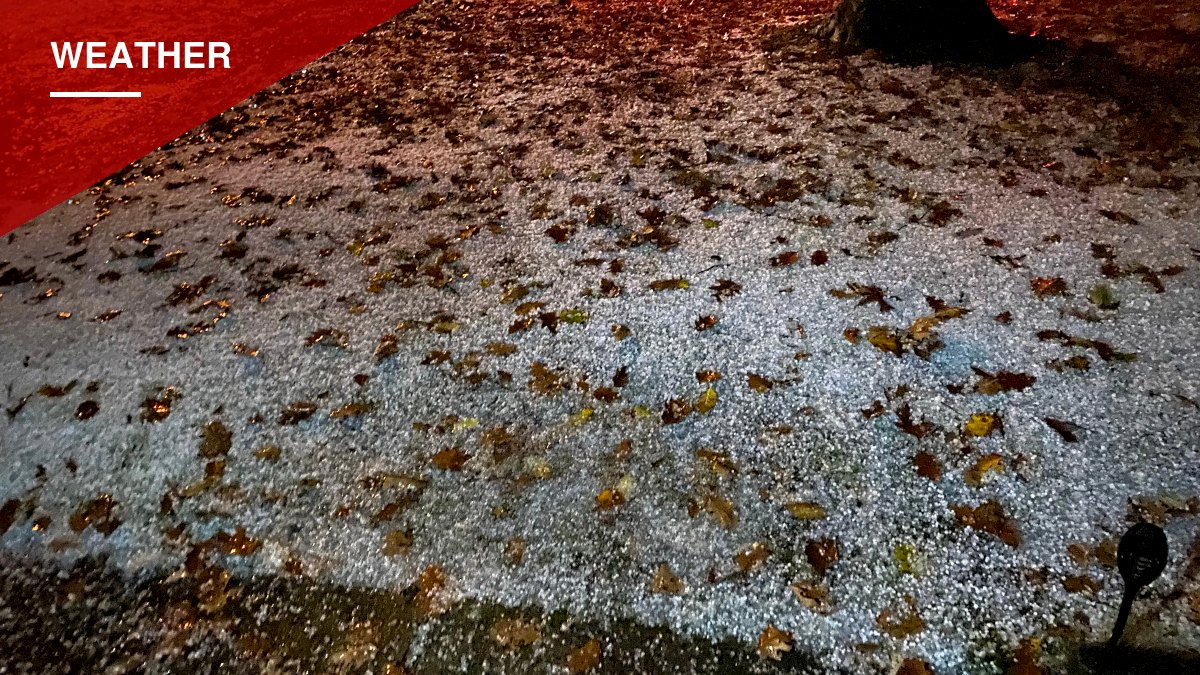

A tornado warning was issued Thursday for parts of southern Queens, including John F. Kennedy Airport and southwestern Nassau County, as a powerful nor’easter moved through New York City, according to the National Weather Service.
The warning, in effect until 2 p.m., came after the National Weather Service detected rotation on radar near the airport. Video obtained by Fox Weather showed onlookers watching a dark, low-hanging cloud swirl near JFK.
“Tornado, yeah, it’s a warning. Go down,” a man is heard telling another person in the video. “That’s spinning… It’s over the water right now. It’s coming this way. That’s it, there ain’t no basement they’re gonna let you in here.”
There were no reports of the formation, known as a wall cloud, actually touching down on land, CBS News reported.
Beyond the tornado warning, a flash flood warning was in effect through 6:15 p.m. for southern Queens as the storm dumped heavy rain and hail across the borough. A video from Far Rockaway, reported by NBC New York, showed hail pelting down on a back porch Thursday afternoon.
The storm soaked much of the city, with Central Park recording more than 1.6 inches of rain.
Forecasters expect another round of wet weather Friday, with a third of an inch to an inch of additional rain possible citywide, and a chance of a few snowflakes in the Bronx, according to WABC. Precipitation is expected to taper off by Friday afternoon.
Once the storm clears the region, colder air and gusty northwest winds are expected to move in behind it. Overnight lows in the mid to high 30s are forecast for the city and surrounding suburbs on Friday and Saturday.
“This will bring some of the chilliest air so far this season behind the storm,” AccuWeather senior meteorologist Carl Erickson told The Post.





You must be logged in to post a comment Login