
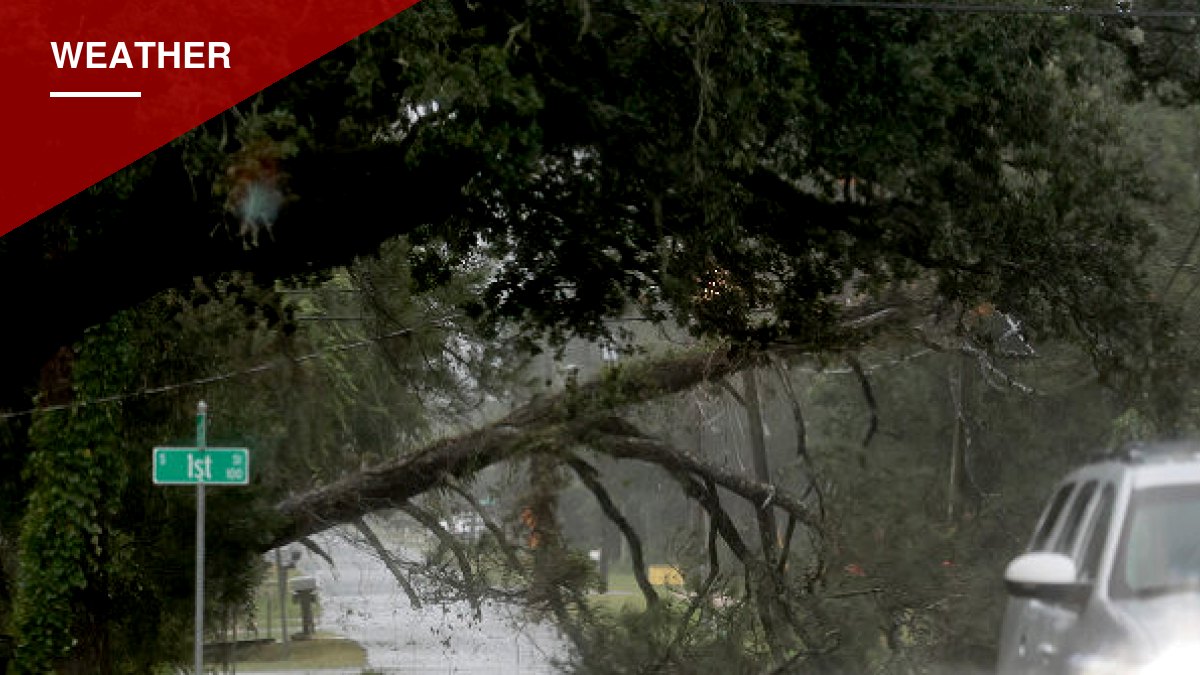

Hurricane Isaias tore into Florida’s Gulf Coast Friday night, bringing a wind gust of 96 mph at Pensacola Bay and triggering a flash flood emergency in Destin and Fort Walton Beach as officials warned of life-threatening flooding.
The storm had strengthened into a Category 3 hurricane earlier Friday before the National Hurricane Center’s 8 p.m. Eastern advisory downgraded it to a Category 2 with maximum sustained winds of 110 mph. FOX Weather later reported the storm made landfall along the northern Gulf Coast, though no confirmed time or exact location for the center crossing shore was given.
A gust of 72 mph was recorded in Orange Beach, Alabama, as the storm’s winds reached well beyond its immediate landfall zone. FOX Weather senior correspondent Robert Ray reported live from Destin as hurricane-force winds moved through the area ahead of landfall.
Water levels rose around Panama City and Apalachicola as the storm pushed inland. Forecasters warned that storm surge could reach as high as nine feet along the coast between the Alabama-Florida border and Grayton Beach.
Power Outages and Water Concerns
More than 365,000 customers across Florida and Alabama lost electricity Friday evening, according to the Associated Press, which cited data from PowerOutage.com. In Mobile, officials reported fallen trees and downed power lines. Pensacola’s Emerald Coast Utilities Authority issued a boil-water notice for its customers.
Florida Gov. Ron DeSantis urged residents across the state, not just those directly in the storm’s path, to brace for power failures and dangerous conditions.
“We prepared for the worst,” DeSantis said.
Evacuation orders were issued in parts of Florida’s Okaloosa, Escambia, and Walton counties, as well as on Dauphin Island in Alabama. DeSantis, Alabama Gov. Kay Ivey, and Georgia Gov. Brian Kemp each declared states of emergency ahead of Isaias’s arrival.
Flooding and Tornado Threats Spread Inland
Forecasters expect the storm’s effects to push further inland through the weekend, with rainfall totals of 4 to 8 inches forecast across southern Alabama, northwestern Florida, Florida’s Big Bend region, and southwest Georgia. Isolated areas could see as much as 15 inches of rain.
A tornado threat is expected to extend into Georgia and the Carolinas on Saturday, with forecasters cautioning that the most dangerous conditions will likely occur near and east of the storm’s center.
Air travel across northwestern Florida was heavily disrupted. All Friday arrivals and departures at Destin-Fort Walton Beach Airport were canceled. Pensacola International Airport logged 74 cancellations, and Northwest Florida Beaches International Airport had 47, according to FlightAware figures reported by the Associated Press.






You must be logged in to post a comment Login